
GMDSS Sea Areas A1, A2, A3 and A4
GMDSS GUIDE · SEA AREAS
GMDSS sea areas A1–A4: definitions and voyage checks
A practical guide to how the areas are defined, why coverage declarations matter and what officers should verify.
Reviewed 2 October 2026.
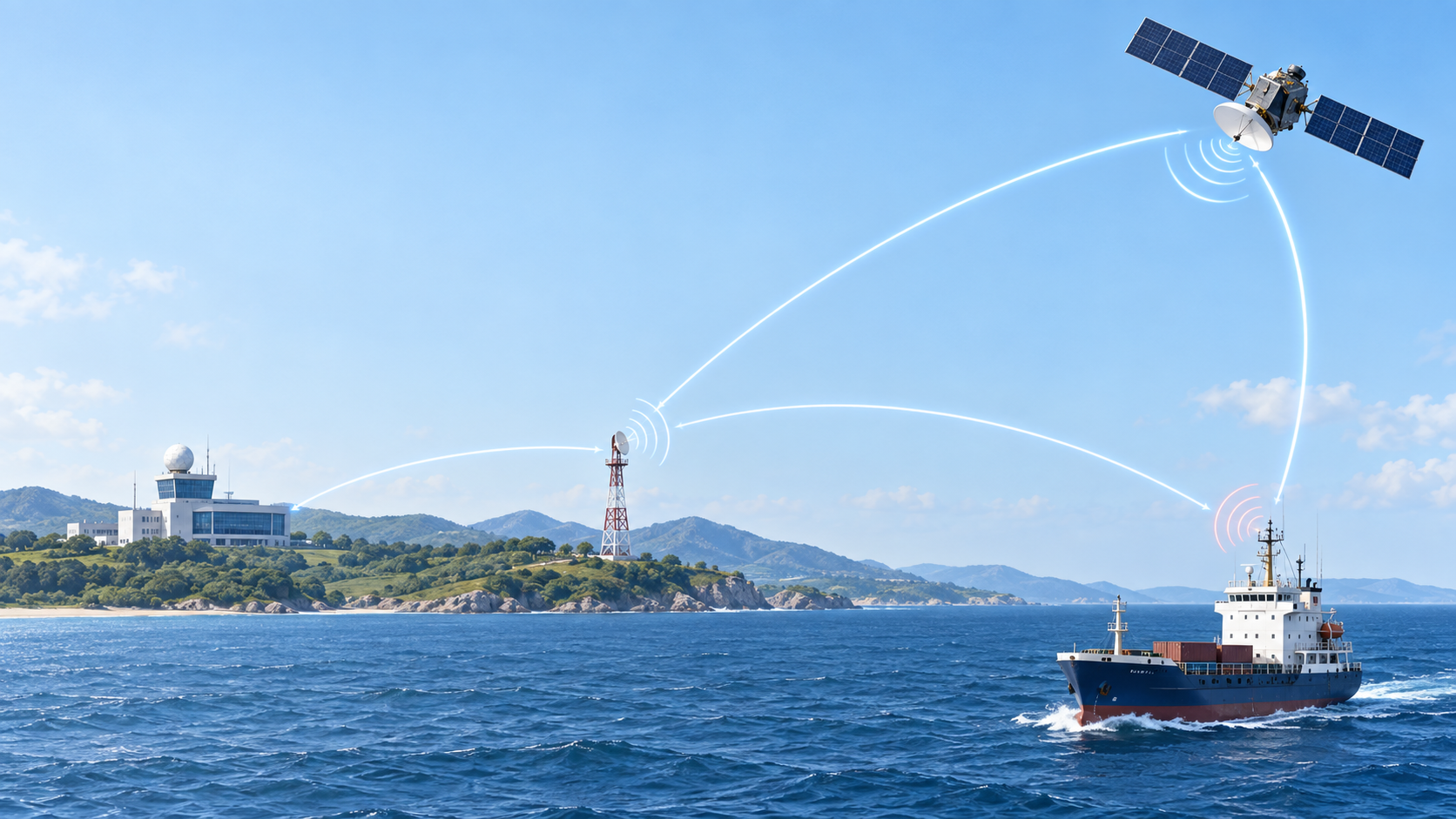
Quick answer: SOLAS sea areas A1–A4 are defined by the availability and coverage of specified radio services, not by one universal distance from land. A satellite provider footprint or a chart circle is not, by itself, an administration’s declaration of a SOLAS sea area.
The four definitions at a glance
A1 · VHF
An area within the radiotelephone coverage of at least one VHF coast station where continuous DSC distress alerting is available.
A2 · MF
An area outside A1 within at least one MF coast station’s radiotelephone coverage where continuous DSC distress alerting is available.
A3 · RMSS
An area outside A1 and A2 within the coverage of a recognized mobile satellite service supported by the ship’s ship earth station, where the applicable continuous alerting capability is available.
A4 · Beyond
An area outside A1, A2 and A3. The ship’s radio capability and applicable installation requirements need particular attention for the intended voyage.
SOLAS Chapter IV gives the legal definitions. MSC.496(105) introduced GMDSS changes that took effect on 1 January 2024. MSC.509(105)/Rev.2 (22 May 2026) sets criteria for administrations providing GMDSS radio services. It does not show sea-area boundaries; check current official coverage information for the route.
A practical voyage-planning check
- Confirm whether SOLAS Chapter IV applies to the vessel and voyage; do not assume every craft is governed identically.
- Identify the administration’s declared shore-based service areas relevant to the planned route.
- Compare those declarations with the ship’s radio documents, approved equipment fit and available satellite service/ship earth station.
- Check any applicable flag requirements, approved exemptions or equivalents and company procedures.
- Resolve inconsistencies with the company and flag administration before relying on an assumed area.
A1–A4 show which radio services are available. The equipment a ship needs depends on its type, voyage, flag rules, installation date and approved radio fit.
“A1 is 20 miles from the coast” is not a universal SOLAS definition. State the relevant coast-station coverage and continuous DSC availability, then check the administration’s declared area.